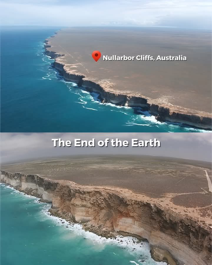
The Nullarbor Cliffs, stretching over 200 kilometers along the Nullarbor Plain in South Australia, are one of the nation’s most extraordinary geological landmarks, often referred to as the “End of the World.”
Situated 20 kilometers east of the Nullarbor Roadhouse, these cliffs soar between 60 and 120 meters above the Southern Ocean, offering stunning vistas and a profound sense of isolation.
Their composition of limestone, crystalline rock, and hardened windblown sand reveals millions of years of natural history. Embedded within their layers are marine fossils, evidence of an ancient seabed that once covered the region.
“These cliffs formed around 65 million years ago during the Cretaceous–Paleogene boundary, when Australia began drifting away from Antarctica,” said Dr. Lisa Carter, a geologist specializing in plate tectonics. “The breakup created a submerged marine platform, which later emerged to become the limestone cliffs we see today.”
The cliffs’ unique geological features are part of the larger Bunda Cliffs system, an extension of the Great Australian Bight. This area remains a critical site for studying Earth’s past climates and plate movements.
For visitors, the experience is unparalleled. “The Nullarbor Cliffs offer a connection to Earth’s deep history,” said a local tour guide. “It’s a place where geology, oceanography, and breathtaking scenery converge.”
With its ancient origins, stunning views, and scientific significance, the Nullarbor Cliffs stand as a testament to Earth’s dynamic history and remain a must-visit for nature enthusiasts and scientists alike.


